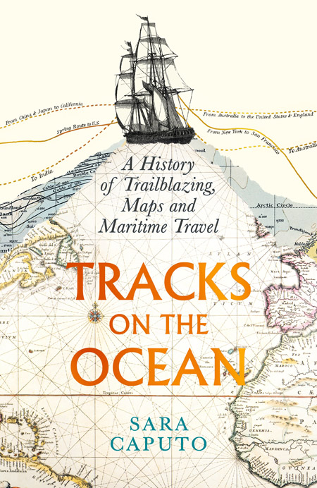
Drawing our movement through the world as a line on a map is not an obvious idea. It has deep historical roots, and many of them can be found in maritime voyages. This is the argument made by Dr Sara Caputo in her new book Tracks on the Ocean: A History of Trailblazing, Maps and Maritime Travel.
Caputo is a British Academy Postdoctoral Fellow in maritime history at the Department of History and Philosophy of Science. An initial article on her project was published earlier this year in the journal Past and Present. In it, she makes the case that modern-day geo-surveillance was partly built on maritime surveying techniques. The inspiration for her work on lines of travel, or 'ship tracks', on maps originally came many years ago, during her Master's degree, while she was studying Matthew Flinders's 19th-century charts of Australia's coastline. She then continued to develop it alongside other projects. "I was working on some charts and maps in a museum warehouse, and I started seeing how, before a certain date, I simply couldn't find any lines marking movement. So that research question took shape more directly. What did people do to represent their journeys before they drew tracks? Why do they suddenly appear?"
Maritime tracks begin to emerge in Europe in the 16th century. Their appearance was directly linked to the discovery of the New World and the rise of oceanic crossing. Maps of the Magellan-Elcano expedition, which circumnavigated the globe in 1519–22, are among the earliest examples of a Western map directly representing an oceanic journey. The voyage in question is depicted as a track line.
This soon became the standard approach for maps portraying journeys. It was a simple, reliable way of interacting with a landscape that lacked any obvious landmarks.
By the 18th century, marine charts had become highly technical. This was a time when the modern state system was emerging in Europe. A key feature of the modern state was the creation of public offices with specific responsibilities, one of which was the management of overseas imperial endeavours. The British Royal Navy appointed their first hydrographer, Alexander Dalrymple, to collate existing charts into a rational knowledge of routes. Exploration became officialised, with navigators like James Cook, Matthew Flinders and George Vancouver charting the Pacific under the orders of the Royal Navy. In turn, later generations of navigators would use the charts they laid out as a basis for their own journeys. By the second half of the 19th century, the 'Queen's Regulations' guide for naval captains required them to keep a track chart alongside their written logbooks.
Caputo explains how these tracks were an active agent in colonialism, facilitating imperial endeavours all over the world. But marine surveying also fed into colonialism in less obvious ways. In particular, it promoted notions of discovery, suggesting that Westerners were charting 'unexplored lands'.
"On land it's a lot harder to trailblaze, because trails are almost always there, in one shape or another," Caputo explains. "There are things that condition your movement at sea, too, but often they're not immediately visible; so it's easier for people to tell this story of agency and freedom."
The impact of this view still resonates with us today, through mythmaking on how people such as Cook 'discovered' Australia, and how these 'unknown lands' were 'civilised' by Europeans.
By the 19th century, safe routes were charted across almost all of the oceans. At this point, maritime mapping, an instrument of surveying, also became an instrument of surveillance. Governments now had detailed records of their territorial waters, and far greater control over the courses their fleets would take. New technology such as sonar, radio direction finding and aerial surveys all helped. Nowadays, movement at sea can be monitored through satellites. This monitoring uses the same device of track lines deployed by those early European navigators.
Caputo's aim for this project is to show how map-making can be a tool for political power and personal storytelling. "Geography isn't neutral," she explains. "Geography is always about one representation of the Earth, or a collection of representations of the Earth. In one way it's extremely useful to have a model of the Earth that works, but it's good to always be aware of where that model comes from, and how. It's not necessarily the only way of imagining things."
But she also sees this as an opportunity for us to look at maps and navigation differently. While track line maps are now the norm for viewing our movement across the world, Caputo's research shows this has not always been so. Many coastal communities, including those in Europe, have a history of maritime navigation based on observing the specific features of the seascape. These range from the colour and pattern of the waves to the direction of the wind. The Labrador Current is a different colour from the Gulf Stream.
"In the ancient world the track wasn't the tool that was used the most. It was more about being embedded in the world around you and being encircled by the world rather than being a dot or a line on it. And that kind of vision hasn't disappeared. When we are in a place that we know, we don't need to use a track: we take the time to actually understand it in its own terms."
Being open to other approaches to travel and maps is an important part of broadening the voices we hear from. It can help us rethink our ideas of discovery and shared knowledge.
As Caputo puts it: "historians of science know this very well: who and what we choose to emphasise as the discoverer, or the moment of discovery, is quite arbitrary. Discovery is always a very cumulative process to which lots of people contribute."
Find out more
Tracks on the Ocean: A History of Trailblazing, Maps and Maritime Travel by Sara Caputo is published in the UK by Profile Books and in the US by the University of Chicago Press.